New tools improve access to land resource information
A new land visualisation tool has been developed to provide convenient access to extensive information about Māori land.
The tool has been designed and developed specifically for Māori land owners and land managers searching for their land blocks, and then wanting to know about the land’s resource characteristics and potential.
The tool is available to everyone who has an interest in Māori land. It combines updated block (property and legal) data from the Ministry of Justice (Māori Land Online) with environmental and land resource data from Landcare Research.
The tool can create a customised report of the environmental characteristics for any Māori land block in New Zealand, with land located either by using an interactive map or by searching for a block name or place name.
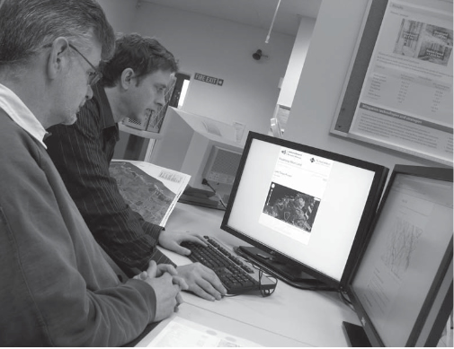
The tool generates a series of resource maps, statistics, and descriptive information detailing land resources and presents this information to the user as an interactive webpage. The data is displayed over topographic maps, satellite imagery and aerial photographs.
‘This will provide landowners with an idea of the potential of their land blocks, including a “first cut” land assessment showing areas at national scale suitable for horticulture, cropping, pastoral farming, forestry and areas needing long-term protection,’ says Landcare Research scientist Garth Harmsworth.
‘There has been huge interest in the tool when we have demonstrated it at conferences and workshops around the country, especially from Māori land owners and Māori organisations such as trusts and incorporations, and many government departments.
‘Māori have been waiting a long time to gain better and easier access to land resource and environmental data of their blocks.
‘In future Māori land data can be linked to relevant data from many other sources. Already we have linked the tool to the National Library’s Digital NZ records, giving a wealth of historical and archival information for each Māori land block.’
Development of the tool was funded by Te Puni Kōkiri (Ministry of Māori Development).