All the “vegetation” you can eat! The Land Cover Database is being updated
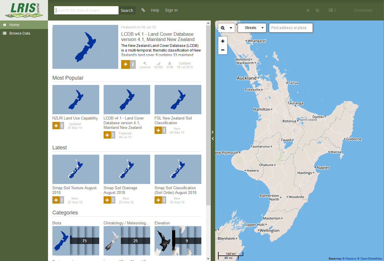
The LRIS portal
Work is underway to deliver the updated land cover database (LCDB 5) in early 2020. You can help us ensure that the new version is error-free and uses the best available data for your region.
The New Zealand Land Cover Database (LCDB) is a multi-temporal, thematic classification of New Zealand's land cover. It contains 33 mainland classes and has evolved from version to version but backward compatibility has been maintained. LCDB is suitable for use in national and regional state-of-environment monitoring, forest and shrubland inventory, biodiversity assessment, trend analysis and infrastructure planning.
The revised land cover database will deliver a classification as of late 2018. There are no changes to the specifications, scale or land cover classes as we move from the current LCDB4.1 to the new version.
This is a perfect time for registered users to let us know about any errors due to misclassification or poor delineation on the current version, and there is a “Submit Feedback” button on the LRIS (Land Resource Information Systems) portal (lris.scinfo.org.nz) for this.
In addition to feedback on the current classification, please get in touch if you have high resolution high quality ground-truthed land cover / vegetation data-sets that are publicly available and could be used to enhance the classification.
A new advisory group has been formed and regional councils are represented by Haydon Jones from Waikato Regional Council.