Designing monitoring systems for forests
New Zealand's natural forests are unique, dominated by endemic tree species.These forests are constantly changing, in response to natural disturbances such as volcanoes, earthquakes and cyclones, and in response to human-related causes, such as introduced animals and plants, and climate change.
Public concern about change in forests and New Zealand's international obligations to document change in forest requires robust, defensible monitoring methods. Reporting change in forests is a requirement for several New Zealand Government agencies: the Department of Conservation (DOC), Ministry of primary Industries (MPI), Ministry for the Environment (MfE), and Statistics New Zealand. It is also increasingly a matter of concern for local government agencies, iwi and hapū, and for conservation trusts and private organisations.
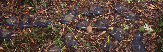
New Zealand is fortunate in having a long history of measuring change in forests and of applying consistent methods nationally. There is an infrastructure of at least 6500 permanently marked 20×20-m plots in forests nationally, within which trees are tagged so that their growth and mortality can be measured over time. Information from these plots is lodged in the National Vegetation Survey databank. Most of the data are available electronically and it is a standard operating procedure in DOC to ensure that new data collected from plots are archived in the databank. The key research questions concern the number of plots, or individuals of particular species, required to give accurate estimates of change and to achieve desired levels of precision about these estimates. Other important questions concern the appropriate means of sampling forests, and the intensity of sampling required. Ensuring consistent methods for forest monitoring requires agreement on field measures and methods and we are currently revising and updating field manuals for forest monitoring in collaboration with DOC.
NZ Carbon Monitoring System — location of permanent plots
An example of how this information is used was in determining the sampling intensity required to set a 1990 baseline to report on carbon stored in forests and shrublands nationally. This research was undertaken for MfE to meet reporting obligations under the Kyoto Protocol. Based on estimates from existing plots, a national plot network was established to report change in carbon: the Carbon Monitoring System. As a result, between 2001 and 2006, 1372 plots were established on a 8-km grid superimposed upon the country's forests and shrublands and these plots will be used to report change with time. DOC is establishing its Natural Heritage Management System, which includes indicators of change in forests, in particular changes in tree populations and in plants grouped according to functional attributes. In particular, this information is needed to determine the effectiveness of DOC's management, such as control of introduced pests. Current research funded by DOC and a cross-disciplinary research project will provide information on sampling intensity and robustness of estimates of change in forests under different DOC management regimes. Information from consistent, standardised methods of forest monitoring will be used by MPI and by Statistics New Zealand to report on other aspects of forest management, such as the sustainability of forest use (as required by the Montreal Process).