Characterising land resources
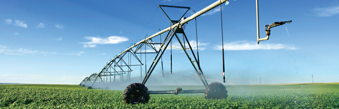
This research underpins improvements in land management, identification of new sustainable land use opportunities and enables monitoring of land use intensification trends and impacts.
The Portfolio is responsible for the stewardship of data and infrastructure associated with our nationally significant land and soil databases, including the acquisition of new data through field surveys and by using LiDAR and standard remote sensing technology. Our role is to enhance the quality, accuracy, spatial coverage and accessibility of soil and land information. Research focuses on (i) creating fit-for-purpose data and information, now and for the future, (ii) stewardship of authoritative data and information asset, and (iii) designing smarter, ready-to-use ways of communicating information. The Portfolio supports the National Land Resource Centre.
Of particular relevance to Māori is our work in developing the on-line Māori Land Visualisation Tool, with earlier support from Te Puni Kōkiri.
Key research partners include AgResearch, Scion and Plant & Food Research (the Soil and Land Use Alliance); CSIRO Land & Water (the Oceania Node of the Global Soil Map); and Antarctic New Zealand (Antarctic soils and environmental domains).
Research priority areas:
- Soil mapping & modelling
- Landscape mapping & modelling
- Data stewardship information services
- Uncertainty & error