Next Generation Biodiversity Assessment
Overview
We are developing state-of-the-art molecular techniques for rapid and thorough assessment of biodiversity and ecosystem function across productive and indigenous landscapes. Our research:
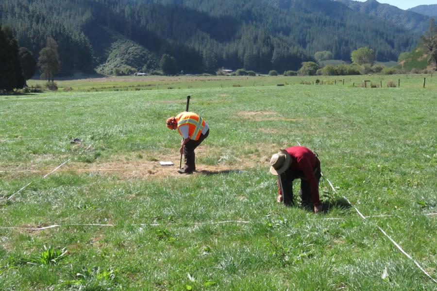
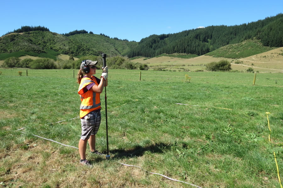
- Builds on traditional plot-based biodiversity assessment , including extending the national-scale 8 x 8 km sampling grid to include productive landscapes.
- Uses pyrosequencing of environmental DNA from soils, roots, and invertebrates to detect and identify all plants, animals, fungi, and microbes.
- Links DNA-based metrics of biodiversity and ecosystem function directly to environmental criteria across gradients of land-use intensification.
Why is this important?
A great deal of New Zealand's biodiversity occurs not in the conservation estate, but in productive landscapes. This biodiversity underpins the ecosystem services that sustain New Zealand's well-being, health, prosperity and growth. Yet current methods for measuring biodiversity focus on only a few groups of organisms (birds, mammals, plants) and can be very expensive due to the requirement for highly skilled botanists and zoologists for species identification. To facilitate "green growth", criteria must be developed from reliable, comprehensive data on the state of biodiversity across all landscapes, not just conservation land. This requires cost-effective and reliable assessment of all organisms, not just iconic species. In particular, soil biodiversity (nematodes, mites, fungi and bacteria) drives nutrient cycling, plant growth and carbon sequestration, yet is ignored in most current biodiversity assessment methods.
How is this being achieved?
Our research is supported by a Ministry for Business Science and Innovation’s "Smart Idea" investment. In Phase 1 of our research we developed new protocols for plot-based biodiversity assessments using soil DNA and next generation DNA sequencing. Working with private landowners, Marlborough District Council and the Department of Conservation, we applied this tool in the Wairau catchment to measure ecosystem function and biodiversity in vineyards, high- and low-productivity grasslands, commercial forestry, and indigenous forest. Early results show clear trends in ecosystem function and biodiversity across the land-use intensification gradient, while also revealing high variability within each land-use type. This indicates significant opportunities to maximise biodiversity and productivity simultaneously through improved management practices.
In Phase 2 we will address the need to better understand this variability at a range of spatial scales. Working with private landowners, Regional Councils, and the Department of Conservation we will expand our sampled plot network to a further 75 sites across New Zealand (15 in each land use type). This will allow us to characterise variability at a national scale, providing a sound framework against which to assess individual sites. Furthermore, at 5 sites within each land-use type we will perform local replication to examine variability at the management unit (e.g. paddock) scale. The study will provide critical links between biodiversity and ecosystem function that will: 1) provide land managers with information to help decide on best management practices; 2) assist with regional land use planning and national environmental performance reporting; and 3) help establish robust benchmarking and green-labelling credentials for industries within the productive sector
How will this be used?
We will use our data to address the question of how to use cost-effective DNA-based metrics of terrestrial biodiversity and ecosystem function to support New Zealand's green growth within environmental limits. The response of these metrics to intensification will help provide evidence-based minimal measures to underpin biodiversity criteria and protection. Ultimately, we envision our rapid, cost-effective techniques and quantitative criteria being incorporated into existing monitoring by the productive sector, Regional Councils, and the Department of Conservation, bringing a step change in the efficiency and completeness of biodiversity assessment.
Contacts
Project leader: Robert Holdaway. View profile »
Molecular analysis: Jamie Wood. View profile »
Soil function: Kate Orwin. View profile »
Birds and other vertebrates: Catriona Macleod. View profile »
Interpretation and analysis: Ian Dickie. View profile »
Landowner reports
Example plot-level landowner reports are available on request. Please contact us.
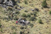
A plot in low producing grassland
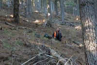
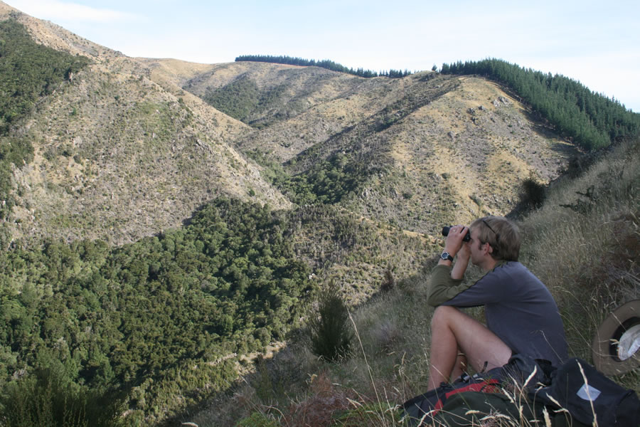
Bird counts in pine forest

Bird counts
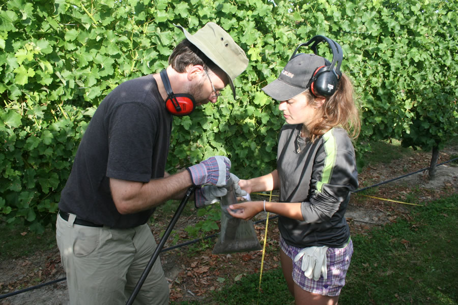
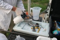
Collecting soil from vineyard
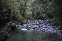
Creek in Wairau Valley

Low producing grassland
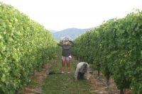
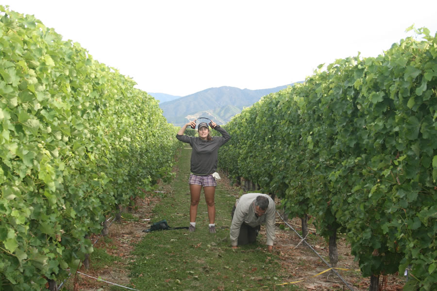
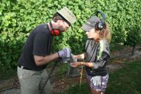
Measuring plants in vineyard
Plot in high producing grassland
Plot in pine plantation
Plot in productive field
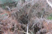
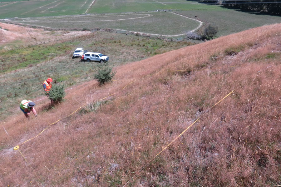
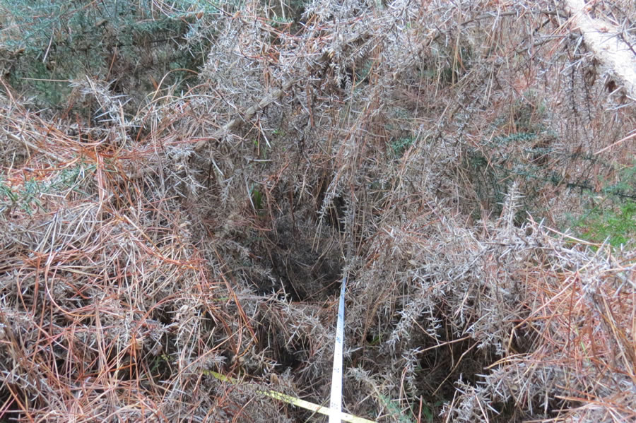
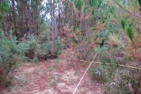
Plot tapes in gorse
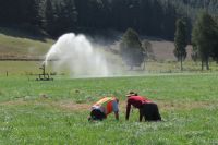
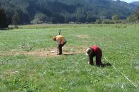
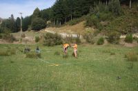
Sampling high producing grassland

Soil coring in pasture

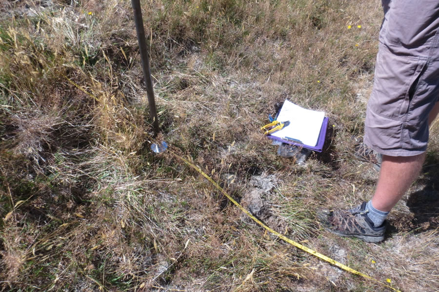
Soil coring
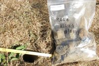
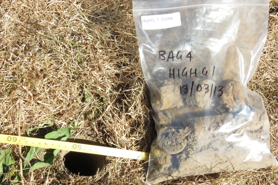
Soil sample
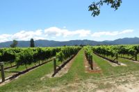
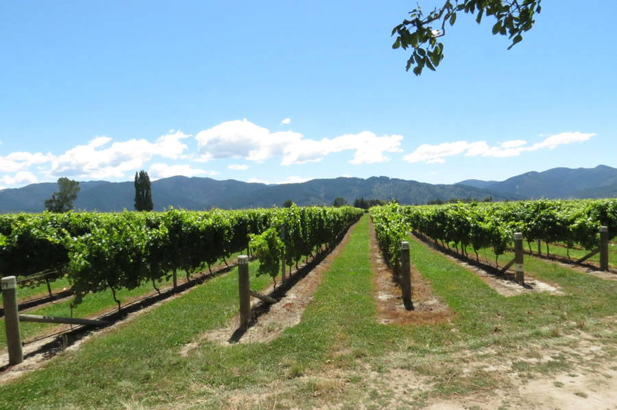
Vineyard
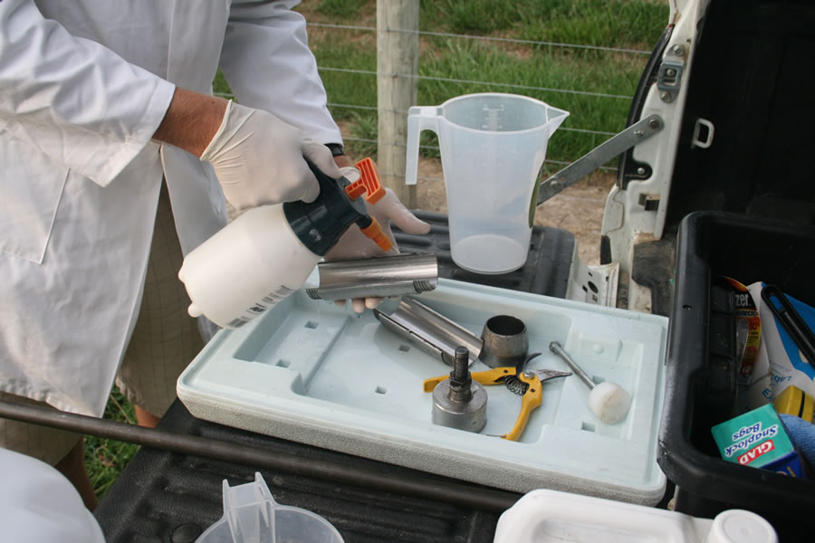
Sterilising soil corer
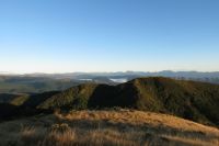
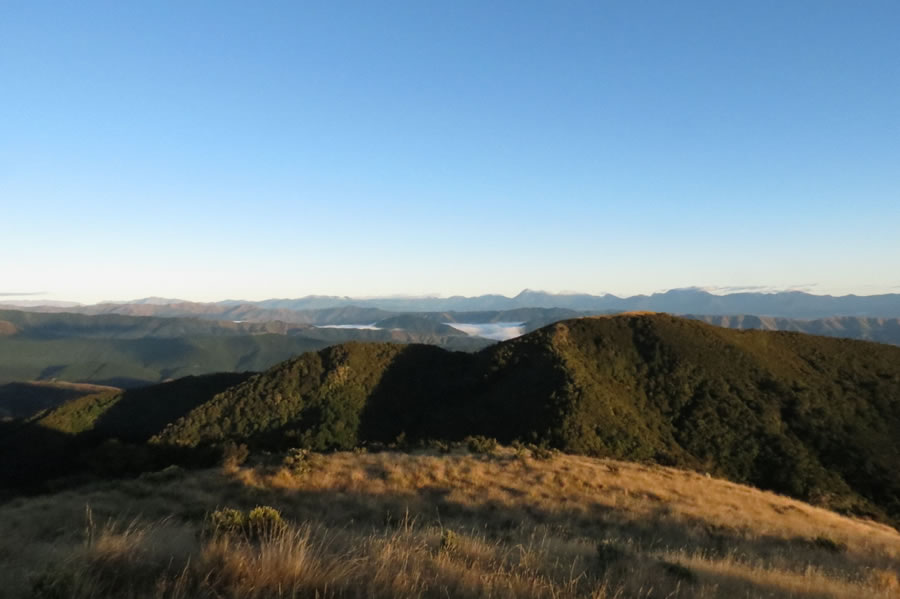
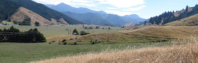
Wairau landscape