Precision agriculture
Developing digital tools that combine proximal sensors, GPS and GIS for mapping and monitoring our soils and landscapes. These tools provide paddock–scale detail of spatial variability – the information required for optimising resource use in our productive landscapes.
Proximal sensors
Proximal sensor research includes evaluating the potential of selected sensors for non–destructive field assessment of soils. Vis–NIR spectrometry is being trialled in the field to collect diffuse reflectance soil spectra which are then used to assess specific soil properties, e.g. soil carbon and nitrogen. Also an electromagnetic (EM) sensor is being trialled for soil mapping.
Monitoring and mapping of soils and landscapes at the paddock scale
An electromagnetic sensor is being used in a mobile system with GPS, dataloggers and on–board computer, for soil mapping. This rapid technique provides information about soil spatial variability – a prerequisite for precision agriculture. EM–derived maps are being assessed as a rapid reconnaissance soil mapping tool, and also for their ability to be used for site–specific management by identifying management zones.
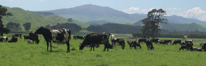
Optimising irrigation water use efficiency
Our research is using EM–derived maps to predict soil available water holding capacity spatially across the landscape, by developing relationships between EM, soil moisture and soil texture. The research aims to fine–tune application of irrigation waters – optimising its use and minimising losses below the rooting zone.