Integrated Catchment Management
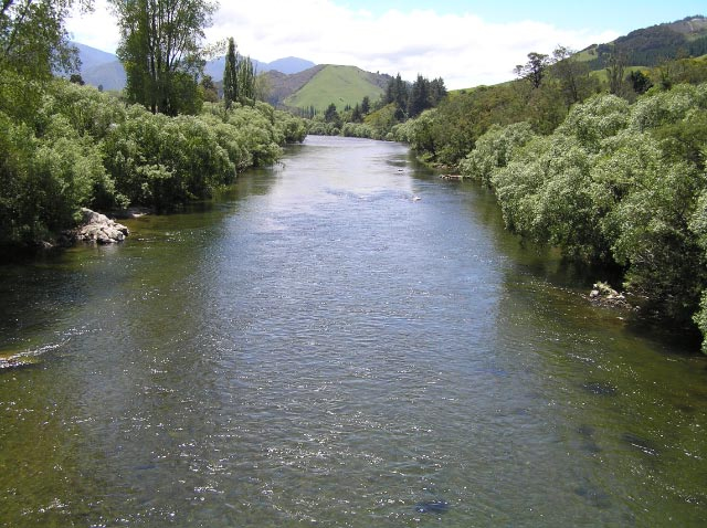
Motueka River
Integrated catchment management is a process that recognises the catchment as the appropriate organising unit for understanding and managing biophysical processes in a context that includes social, economic and political considerations, and guides communities towards and agreed vision of sustainable resource management in their catchment.
Our research is aimed at improving understanding of - and social learning about - land, freshwater, and near-coastal environments in catchments with multiple, interacting, and potentially conflicting land and water uses. We use innovative combinations of historical research, biophysical experimentation, simulation modelling, and social learning.
This combined approach has been designed specifically to improve interactions between science providers and community stakeholders and to maximise the uptake and use of new knowledge and tools developed from scientific research.
Integrated Catchment Management for the Motueka River
"From ridge tops to the sea"
The ICM research programme which ran from 2000 to 2012. It was a multi-agency collaborative programme to provide “information and knowledge aimed at improving the management of land, freshwater, and near-coastal environments in catchments with multiple, interacting, and potentially conflicting land uses”.
One research hypothesis posits that ecosystem resilience is improved when community resilience is developed (Fenemor et al NZJMFR 2011). The ICM programme investigated both the human and biophysical elements of catchment management, using the Motueka catchment and Tasman Bay as its primary demonstration basin.
The programme achieved two contracted outcomes:
- Define and demonstrate collaborative and knowledge management processes for ICM for application by regional councils and resource user groups.
- Develop understanding of the biophysical linkages between land, water and coastal parts of catchments to create tools and predictive models to mitigate environmental impacts, allocate natural resources and plan for catchment sustainability long-term.The research had the following distinctive approaches:
Place-based: focused on the Motueka catchment and Tasman Bay with learning extended through outreach to other catchments
Collaborative learning: with stakeholders in regional council (policy), sub-catchment communities (e.g. farmers) and sectors (e.g. marine farming) an integral part of the research.
Integrated: bringing together research on biophysical processes (water, sediment, nutrient and contaminant fluxes) from ridgetops to the sea with research on social processes (social learning, community engagement, Māori values, policy relevance).
Holistic: integrating across land and water, viewing ICM success as a collaborative effort between agencies, stakeholders and science.
The design of the original research programme was a collaborative effort with Tasman District Council and included expert science advice from US researchers Gene Likens and Tom Dunne on integrative socio-ecological research issues. After a series of stakeholder meetings and a formal survey to prioritise catchment issues, the following research themes emerged to focus the research:
- Allocation of scarce water resources among competing land & instream uses
- Managing land uses in harmony with freshwater resources
- Managing land and freshwater resources to protect and manage marine resources
- Integrative tools and processes for managing cumulative effects
- Building human capital and facilitating community action
The research can be viewed at the weblink below and is summarised in a special Integrated Catchment Management issue 45(3) of the NZ Journal of Marine and Freshwater Research, September 2011
ICM website ››
The site will continue to contain items relevant to ICM but is now largely a legacy site.
Catchment management to improve rural livelihoods in highland Ecuador and Colombia
Mejoramiento de la gestión y el uso de los recursos hídricos y suelo para optimizar el desarrollo agrícola en Colombia y Ecuador
This 2014-20 MFAT-funded rural development activity applies Landcare Research knowledge about catchment-based water and land resource management to enhance agricultural development in two Andean catchments: the Rio Palo in Cauca Colombia (1,655 km2; population 200,000) and the Rio Cutuchi in Cotopaxi Ecuador (1999km2; population 244,000). It builds on the learnings from ICM research.
With local partners CorpoPalo (Santander de Quillichao, Colombia) and CESA (Saquisili, Ecuador), the project is implementing
- land and water inventories with upland indigenous communities,
- mechanisms for collective water management within indigenous and local legal frameworks, and
- technical and design support for livelihoods projects related to local water and land management issues including dam water storage feasibility, water sharing among trout farmers, and mechanisms for protecting páramo uplands from loss of water yield and from water quality degradation.
 and Rio Palo, Cauca, Colombia (RHS)")
Local video of the project, courtesy Dulima Mosquera (CorpoPalo) and Anna Hickman (shortened English version)
Further information:
Andrew Fenemor, Nelson
Jane Lattimore, Lincoln