Strategic land–use & pedology
Underpinning research on the spatial distribution of soils in the landscape, methods for mapping, modelling and quantifying diversity, and tools and frameworks for ensuring the optimum use of soil and land resources.
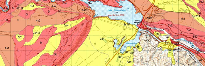
S–map
S–map is a critically important database for many people in New Zealand. Research includes definition of New Zealand soil families, siblings and functional soil horizons that will be carriers of new soil information in S–map, development of pedotransfer functions to derive new soil attributes from the primary attributes in LRIS, soil–landscape models to cost–effectively map soil variability from enterprise to national scales, and methods to provide access to information tailored to specific needs.
Land evaluation
Land evaluation research includes the modelling and mapping of land–use opportunities (using crop–matching models or suitability classifications), management constraints (to identify soil attributes that need management interventions), and on–site or off–site environmental risks of management activities. These data contribute to the evaluation of scenarios to help communities judge the effects of land–use choice and location.
Soil and the movement of water
Soils control the transmission of nutrients or contaminants carried by water in the landscape. Research to predict spatially the processes of entry, storage and release of water is used to model catchment hydrology, and the fate of nutrient or contaminants in the environment. Research on the variability of the soil attributes that control water is being used to refine and place bounds of uncertainly on nutrient process models.