Peter Stephens 1946–2010
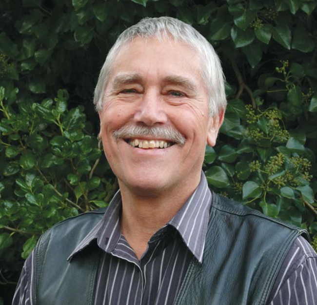
Peter Stephens.
Peter Stephen’s belief in 1997 that Landcare Research needed a newsletter to communicate our soils-related research to the wider community is as valid now as it was then. Peter therefore developed Soil Horizons and others have carried on his ideal. We would like to pay tribute to Peter, who died earlier this year. He was a much respected colleague and friend, and a number of Peter’s close colleagues have contributed to these words.
Peter’s passion was always for applied and practical research into land issues and remote sensing of land cover, erosion and land use. His early career saw him appointed as Area Soil Conservator for the Ministry of Works, Water and Soil Division, in Rotorua, where his work entailed land-use and land-capability mapping, particularly on land development blocks in the Central North Island. He went on to do postgraduate studies on aspects of erosion in the Southern Ruahine Range in 1975, before joining the Land Resources Group of Water and Soil Division in the Palmerston North Office to work on the NZ Land Resource Inventory.
Peter always had an eye for investigating new and innovative ways of doing things, and in 1977 he set up the Catchment Condition Group in an old cottage at the Aokautere Science Centre. This soon morphed into the Remote Sensing Group. Not only did Peter and his team pioneer the use of remote sensing techniques for mapping and evaluating land resources, they were one of the first government agencies to engage directly with the private sector.
To quantify the effectiveness of soil conservation practices, Peter was also instrumental in ensuring specially flown aerial photographs were applied. Working with Grassland Division and MAF, pasture measurement trials were set up on scars of different age and from these measurements it was shown that pasture production only recovered to about 80% of the productivity of the remnant forest soils – repeated landsliding on hillslopes was permanently reducing their productivity.
In March 1988, Cyclone Bola caused widespread flooding and landslides throughout the East Coast region of the North Island. Peter saw an opportunity to help with the disaster recovery effort that immediately swung into action, by providing region-wide SPOT satellite imagery. The damage assessment work was the first operational, land-based application of satellite image data at a regional scale in New Zealand, and used what was at the time a very novel (but today routine) approach: the integrated use of the image data with existing map information to assess actual landslide scar area more accurately. Peter’s enthusiasm for remote sensing, and its practical application, were always highly evident, and no more so than during the months following Cyclone Bola.
Peter served on the Council of the NZ Society of Soil Science and was President between 2002 and 2004. In 2003 he joined MfE in Wellington to design and project manage the Land Use and Carbon Analysis System (LUCAS), a project to measure and monitor the carbon stocks of New Zealand’s forests and soils, which is a critical part of New Zealand’s system for reporting under the Kyoto Protocol. He recently achieved recognition as a United Nations international reviewer for the Land Use and Land Use Change and Forestry sector of national greenhouse gas inventories.
Peter has left a void in the New Zealand science community that cannot be easily filled. He had wide knowledge and experience of New Zealand’s landscape and environmental processes, and the ability to apply these to address complex issues. He was a people person who really cared about his colleagues and was always willing to share his knowledge – a very human scientist. To Lesley and Peter’s family, and to his many friends throughout New Zealand, we extend our deepest sympathy.