Blog: Where's Wally?
Overview:
Two species of wallabies (Bennett’s in South Canterbury and Dama in the Bay of Plenty) are well established in New Zealand. They are in high numbers, spreading rapidly, and causing serious concerns for regional councils, Department of Conservation, and the Ministry of Primary Industries (MPI).
There are significant concerns about their natural spread and illegal liberations, along with the future significant costs and impacts that wallabies pose to New Zealand production and conservation values.
Improved detection methods are urgently needed to help curb the spread of wallabies and other pests, especially animals at low densities spreading at the edge of their range.
This project aims to determine the best method for detecting wallabies from a range of ground-based and aerial surveillance methods including innovative thermal imaging (TI) cameras. The improved survey methods will enable farmers, councils, DOC, and LINZ staff to more cost-effectively detect wallabies, eradicate them outside any containment areas, and prevent the significant losses to production and the environment as will continue to occur if wallabies are not managed effectively.
What it is:
This project is to determine the detection sensitivity of different methods including thermal imaging cameras. Knowing the detection sensitivity is important when you need to determine the probability that wallabies are absent (i.e. they either haven't colonised an area or they have been eradicated). The question pest managers or land-owners need to answer is - if they do a survey and no wallabies are detected, are there any wallabies present? The confidence you have in answering this question depends on the detection sensitivity of the method used and the amount of survey effort implemented. You can think about this in terms of loosing your car keys. If you look in your kitchen and don't find them are they really not there? Your partner then has a look and finds them - they had a higher survey sensitivity than you.
What it isn't:
This project is not developing improved control methods although having improved detection methods should contribute to improved control effectiveness.
PROJECT UPDATES
GPS collaring for our second trial
8 August 2018At our second trial site on the eastern side of the Hunters Hills we successfully collared 15 wallabies. These were captured using ground set nets with help from an experienced trapper who had previously captured wallabies for live export. Corrie set about 140 nets on runs under fences in pasture, scrub, and remnant forest areas. We ended up with a mix of females and males unlike in the first trial where all wallabies were males and captured at high elevations. We can now monitor these wallabies on the web via the LoRa wireless system.
In this trial on the approval from our Animal Ethics Committee, we anaesthetised about 50% of the animals that were collared to compare the welfare of them to those that were not anaesthetised.
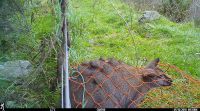
At the same time as Corrie was setting nets we set up trail cameras as an additional detection method to see if these are better for wallaby detection that thermal imaging or dogs, particularly in denser forest which is more common in this trial site.
We will carry out the aerial survey this week and the dog survey will be carried out immediately after.
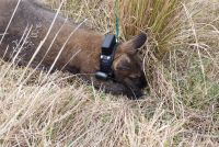
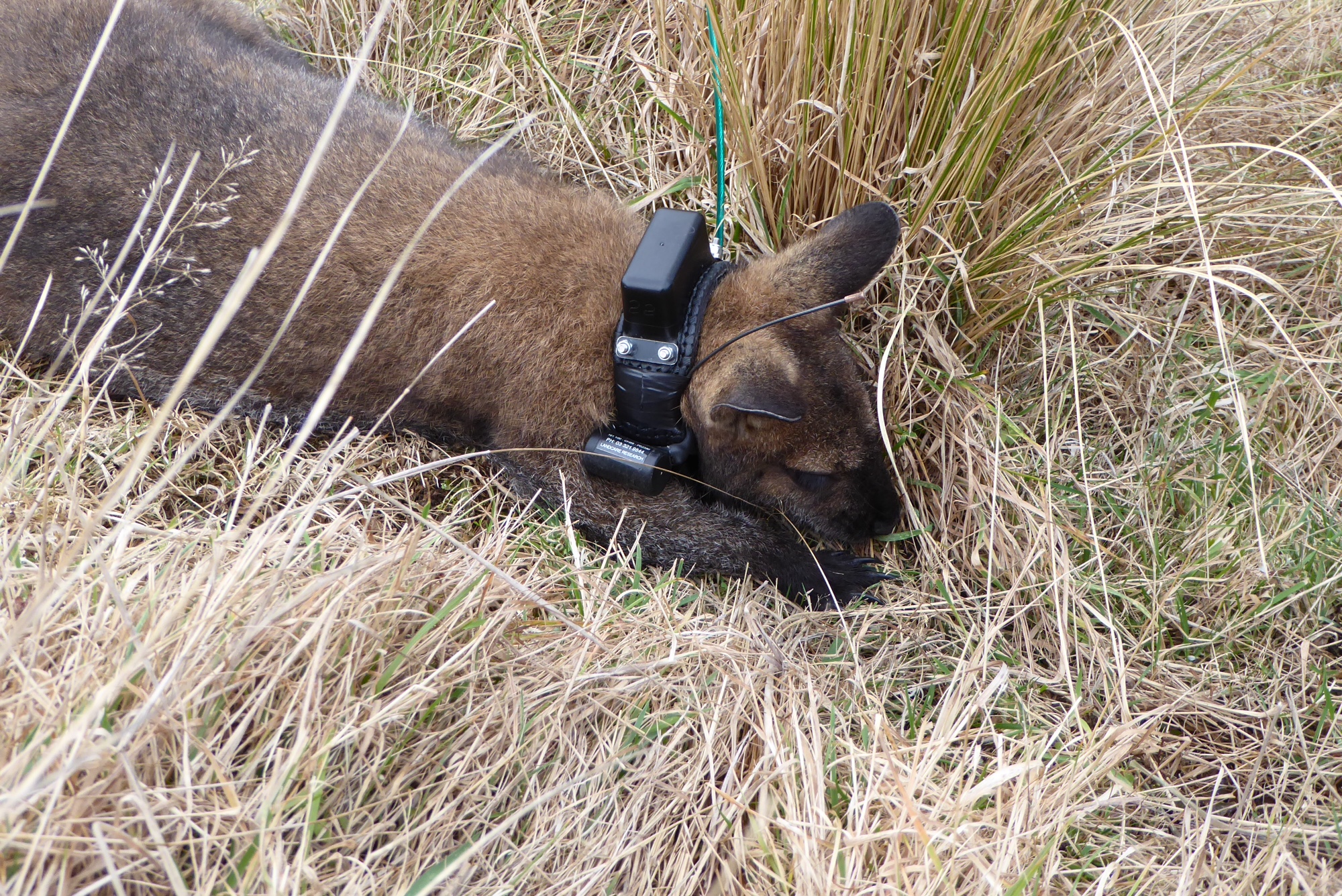
GPS collar on a wallaby. The GPS unit is on top of the collar. The battery and LoRa wireless system is underneath.
Setting a net in a well-worn trail under a fence.

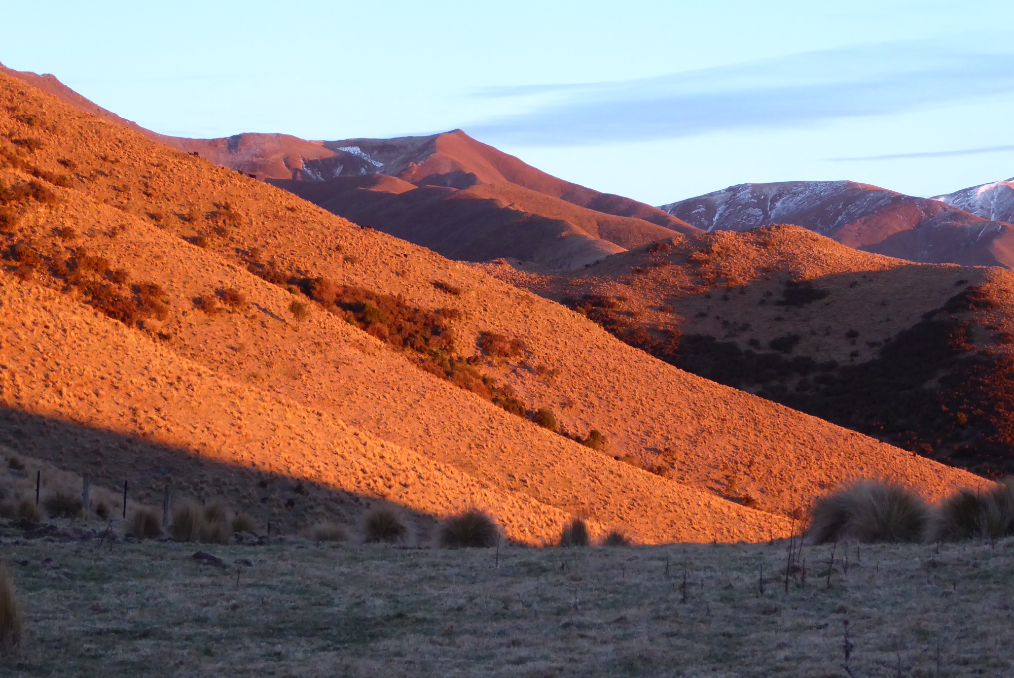
Morning sun on the Hunters Hills

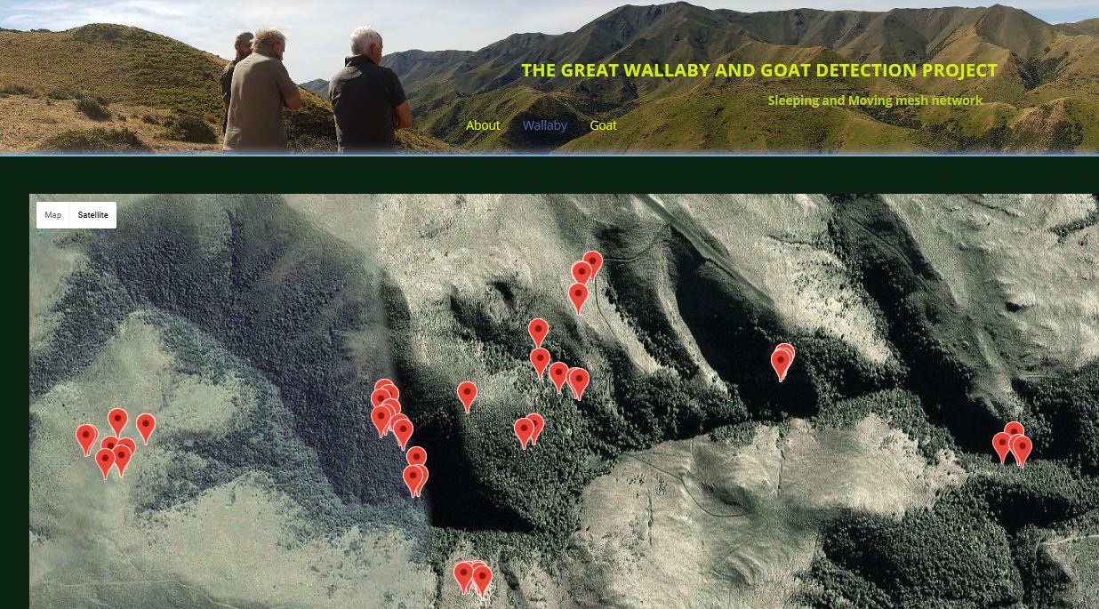
GPS locations on web
8 August 2018Because most of the study areas do not have good cellular coverage and we needed high frequency GPS fixes we were not able to use commercially available GPS collars with cellular connectivity. The only available option apart from using expensive satellite collars (which still could not provide the high frequency fixes) was to gather GPS data from the animal collars using a wireless sensor network from local gateways which have reliable cellular connectivity to the cellular network through cell tower over 30km away from the site.
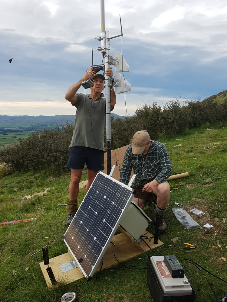
A hybrid local wireless sensor network was built using both Digimesh ( Digi International) and excellent Mini Ultra Pro Ver-3 with LoRa radio from http://www.rocketscream.com/blog. Full mesh Digimesh nodes can jump data from gateway to another. LoRa is capable of sending GPS data over 19km (LOS) to gateways and allows to view the collar location on the web and to communicate with the collars. Three gateways are being used at each site to cover micro topography and dense vegetation. As a back up GPS data are being stored on SD cards in the collars. The frequency of the GPS fixes can be changed remotely over the internet. Hourly GPS data are sent to cloud storage which are then available on a compatible web browser (see photo).
Planning next trial
20 May 2018We are currently planning the next trial on the eastern side of the Hunters Hills. Wallabies will be ground-netted in the first week of August, and the aerial and dog surveys will commence over the following two weeks. We are also looking at using a survey removal survey method to provide an additional method for determining detection probabilities without the need for the GPS technology.
Aerial and ground surveys
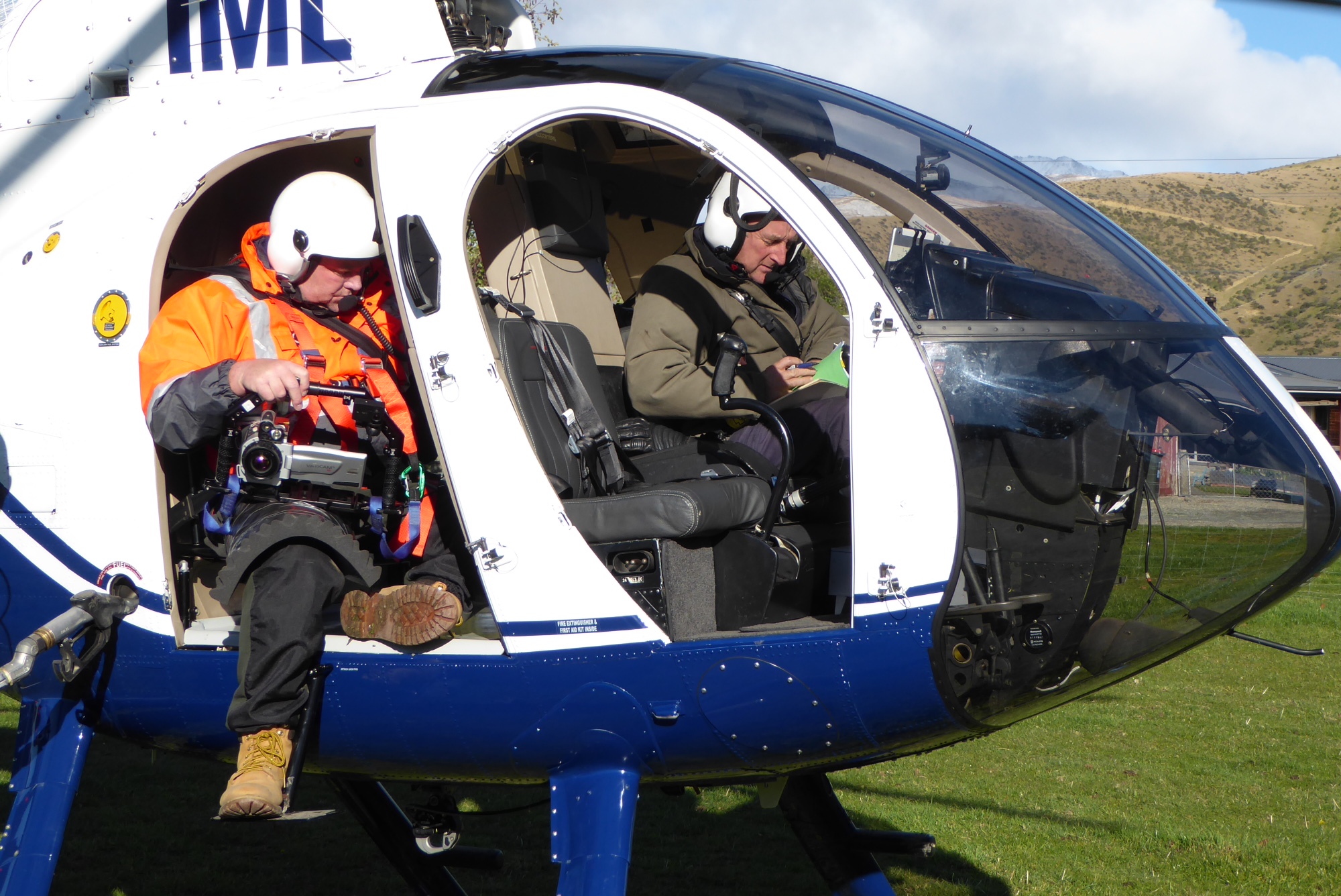
20 May 2018The aerial survey was plagued by bad weather, high winds, then sun which is not good for using a thermal camera, then heavy rain. Nevertheless we managed to get some flights in and we are currently working with the data to check if any collared wallabies were detected. About 40-50 wallabies were sighted during the aerial surveys. On three days following the aerial surveys a contractor (Ross Chilton) with two dogs surveyed the area, with Oscar (a Landcare Research technician) following behind recording GPS locations and directions and distances to all wallabies detected. On these days about 70 wallabies were seen. Grant Morriss (another Landcare Research technician) radio-tracked the wallabies with Ross and shot them to recover the collars.
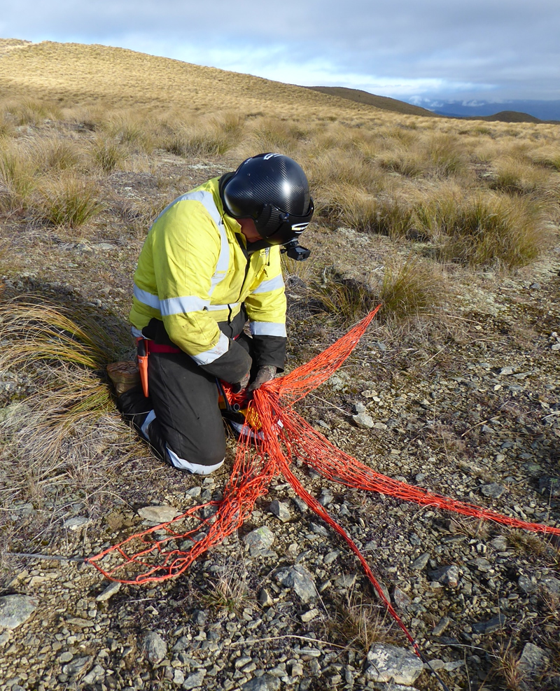
Capture and collaring
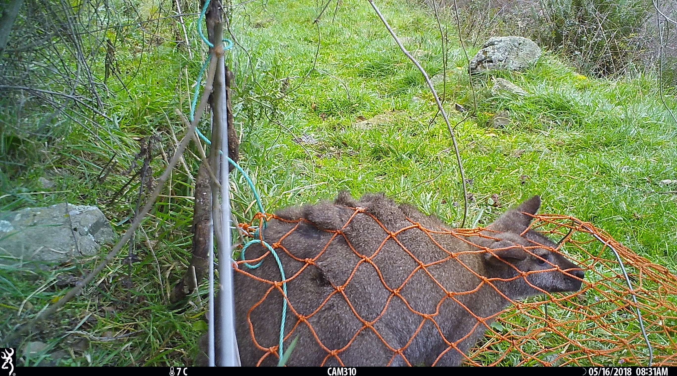
14 May 2018Two capture methods were trialled at our first site: (1) aerial netting, and (2) ground set nets. From four hours of flying we managed to put a net over about 20 wallabies but, because of their shape with small front limbs, most were able to escape capture. We ended up capturing and collaring 7 wallabies. Unfortunately one of these died soon after release (we believe from capture myopia). We tried ground netting for two nights, but managed to only capture one wallaby and this unfortunately died because of a capture injury. The aerial netting was restricted to the higher country where the shorter tussock enabled the nets to be fired without hanging up on vegetation. All wallabies caught at this elevation were males. The one wallaby captured in the ground-set net at lower elevation was a female. We have now worked with Landcare Research's Animal Ethics Committee to develop an alternative handling method, to try and reduce any capture mortality.
A Bennetts wallaby entering a ground-set net. this animal managed to turn around and escape

Reloading a net gun in the higher elevation short-tussock grassland
Setting up LoRa and cellular gateways
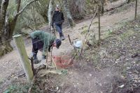
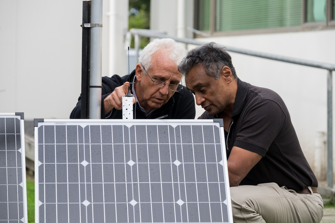
13 April 2018The GPS collars need to communicate via LoRa wireless to fixed stations (gateways) and these communicate via the cellular network to the internet. At our first field site we set up three gateways and these have been monitored for a month to check the solar panels are charging the batteries sufficiently and that the LoRa and cellular communication is working. Jagath has been checking these from Sri Lanka and so far the system is working well.

How many detections do we need?
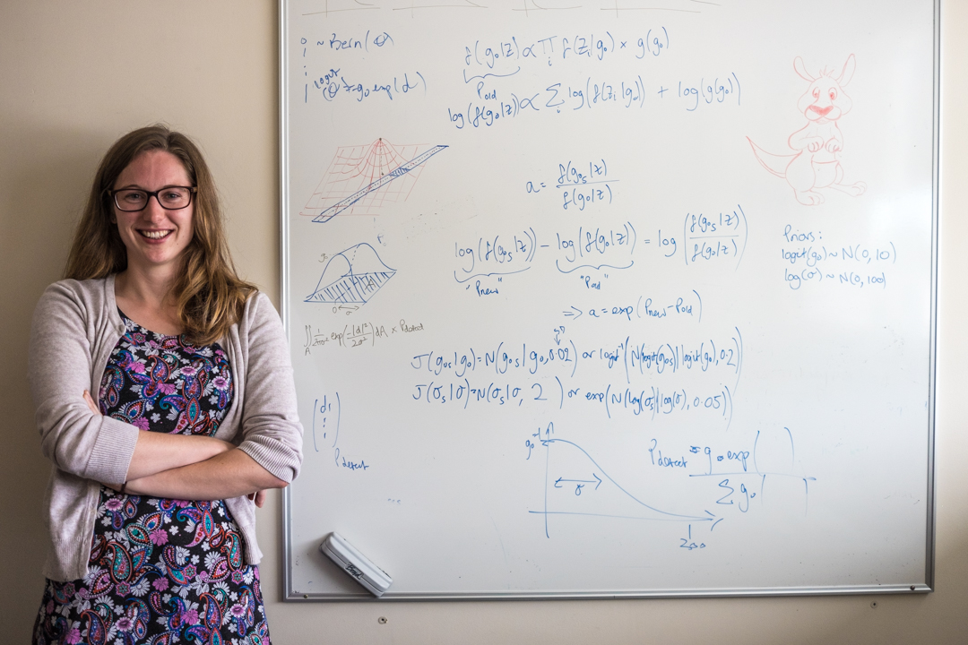
5 March 2018We know the further a wallaby is from our flight path or ground searching route the less likely it will be detected. This has implications for determining whether wallabies have been eradicated, or whether some animals remain that have not been detected during surveillance. How quickly the detection probability declines with distance from our search route is unknown and estimating this relationship is the main objective of this research. Detection probability can be estimated in field trials by recording (1) whether a gps-tracked animal is detected or not, and (2) its distance from the searching route. Before we start the field trials it is prudent to know how many detections we might need to precisely estimate the detection probability.
Rachelle Binny (a Mathematical Biologist) has run computer simulations of the field trials to answer this question. This involves setting up a hypothetical scenario where we already know the “true” probability of detecting a wallaby over a range of distances. We then simulate the search and use this hypothetical “true” detection probability to generate artificial field data (whether an animal was detected during the search or not, and at what distance from the search path). Finally, we work backwards, using only the artificial field data to try and recover our known “true” detection probability. The more data we have, the more precise our estimate will be - our simulations suggest that 40 animals need to be detected (over a range of different distances) to obtain a reliable estimate of detection probability.
A GPS technology challenge
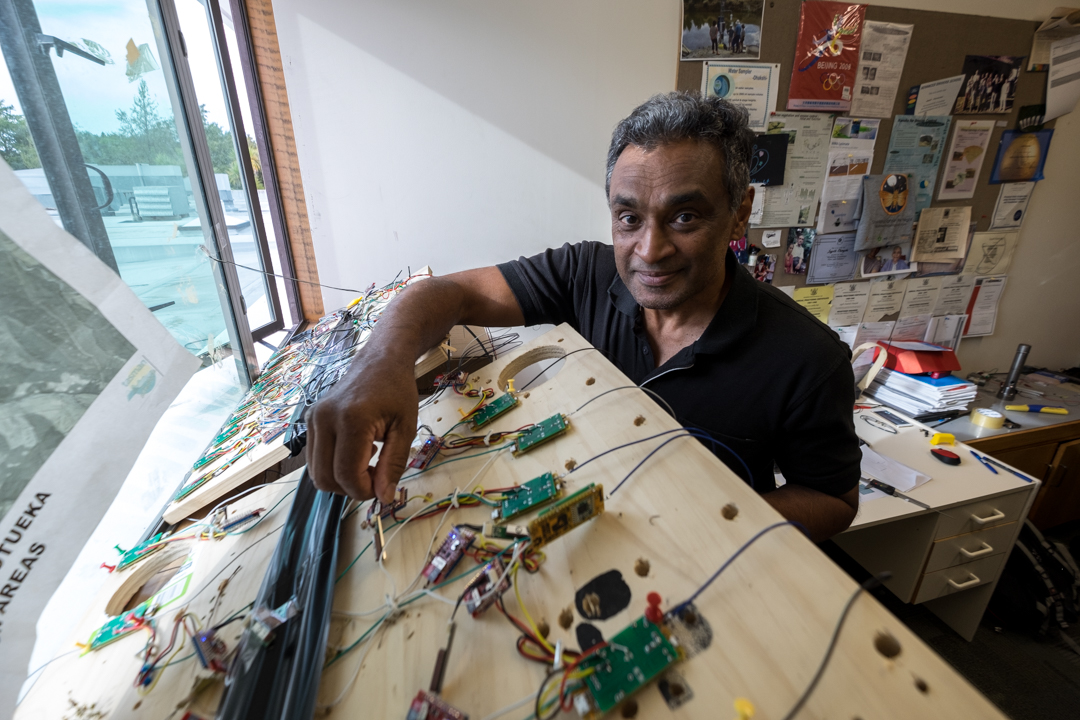
20 February 2018To determine the probability of a dog or thermal imaging camera detecting a wallaby, we need to know exactly where the wallabies are, especially when we fly over them or walk past them but don't detect them. We need to know that the lack of detection was either because they were too far away to be detected or they were close to us but hidden. To know exactly where they are we need GPS collars that take location fixes every few seconds. Unfortunately such devices are not commercially available so Jagath Ekanyake (a MWLR scientist) has developed bespoke collars that use hybrid moving and sleeping wireless mesh sensor networks which is built on LoRa and Digi International,(Digimesh) wireless technology. This enables GPS data to be sent from the animal collars to a cloud server via stationary gateways which are located at critical locations to enable two-way communication between the collars and the internet. The hybrid system is mainly designed to be used in areas where there is very weak or no cellular coverage. Specially designed gateways can relay GPS data received from the animal collars over the local wireless sensor network to cloud servers via the cellular towers even 30 km away from the study area. The GPS collars are designed to acquire GPS locations, send them to cloud server hourly and also with an option to change the fixing interval to 5 seconds upon receiving a command from the cloud server. This enables us to send commands to each collar via the cloud server for 5 sec fixing only when we are doing a survey and thereby extending the battery life of the collars.
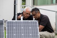
Jagath Ekanayake and Bruce Warburton checking solar panels
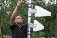
Jagath Ekanayake checking cell phone gateway

Jagath Ekanayake checking GPS electronics

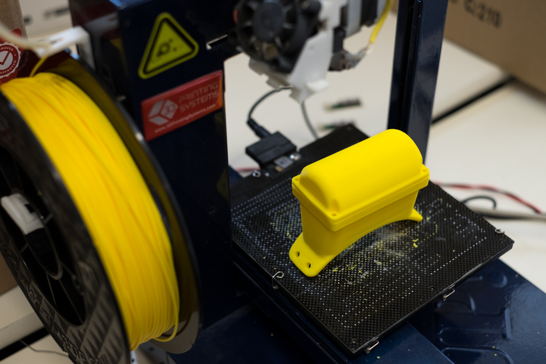
3d printing prototype GPS housings

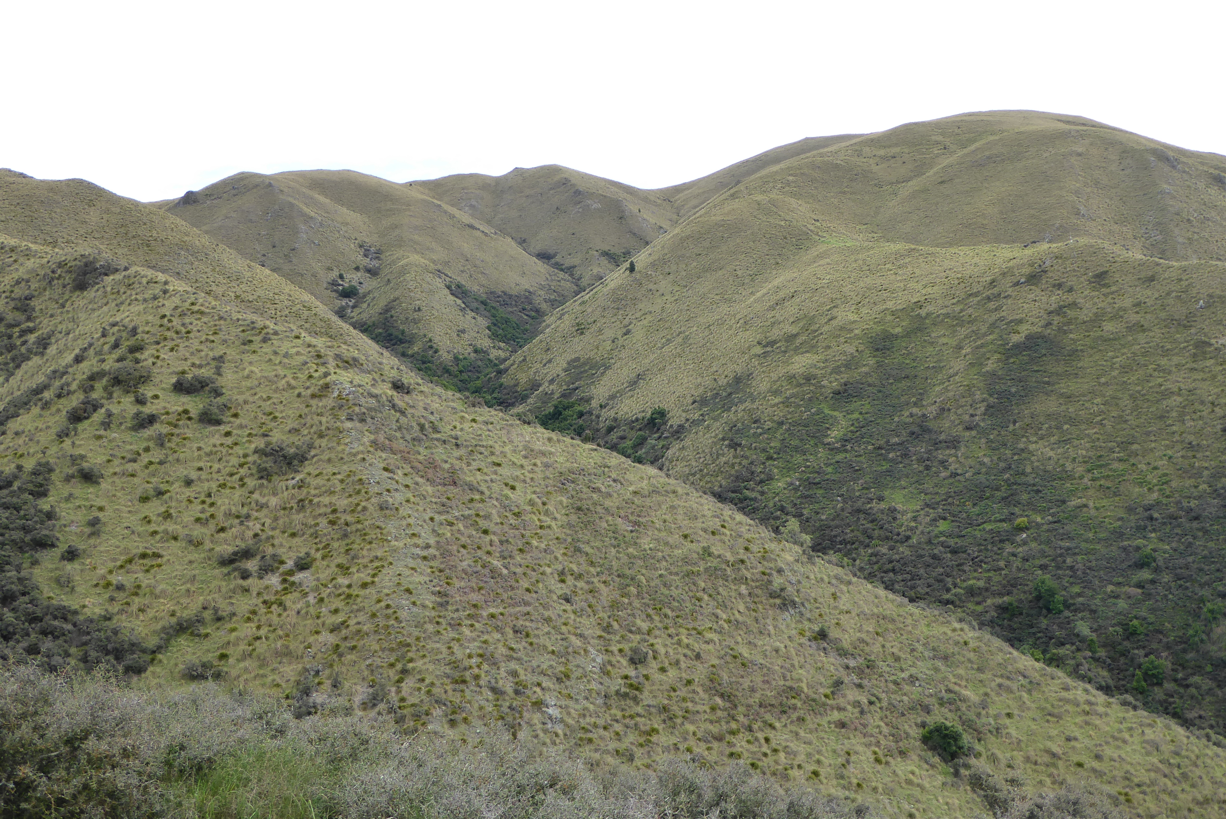
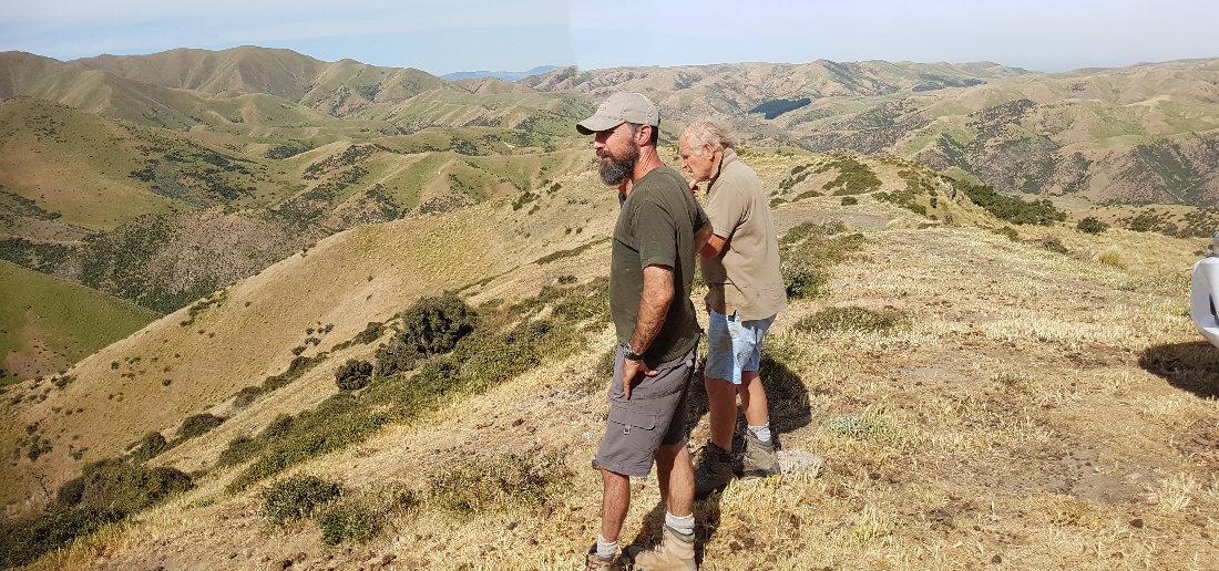
Field site selection
28 January 2018To run three replicate trials we needed to find areas that had wallabies at reasonable numbers so we can capture and collar them, but not too high that their home-range sizes were atypical of wallabies at the edge of their current distribution. That is, animal home-range size usually expands at lower densities. We also has some concerned farmers who were not keen on us catching wallabies and then letting to go (they preferred them to be killed). Dave Latham, Bruce Warburton and Jagath Ekanayake after very helpful discussion with Brent Glentworth (Env Canterbury) visited several farms and forestry blocks near Fairlie, in the Hakataramea Valley, and along the eastern side of the Hunters Hills and have selected three areas that should be suitable for the trials. It is great to get farmer support and access to their farms.