GPS locations on web
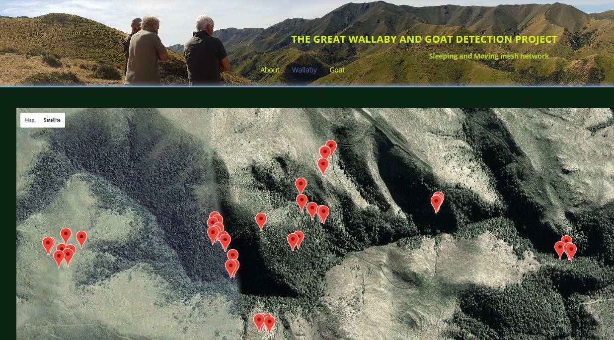
Because most of the study areas do not have good cellular coverage and we needed high frequency GPS fixes we were not able to use commercially available GPS collars with cellular connectivity. The only available option apart from using expensive satellite collars (which still could not provide the high frequency fixes) was to gather GPS data from the animal collars using a wireless sensor network from local gateways which have reliable cellular connectivity to the cellular network through cell tower over 30km away from the site.
A hybrid local wireless sensor network was built using both Digimesh ( Digi International) and excellent Mini Ultra Pro Ver-3 with LoRa radio from http://www.rocketscream.com/blog. Full mesh Digimesh nodes can jump data from gateway to another. LoRa is capable of sending GPS data over 19km (LOS) to gateways and allows to view the collar location on the web and to communicate with the collars. Three gateways are being used at each site to cover micro topography and dense vegetation. As a back up GPS data are being stored on SD cards in the collars. The frequency of the GPS fixes can be changed remotely over the internet. Hourly GPS data are sent to cloud storage which are then available on a compatible web browser (see photo).