A GPS technology challenge
To determine the probability of a dog or thermal imaging camera detecting a wallaby, we need to know exactly where the wallabies are, especially when we fly over them or walk past them but don't detect them. We need to know that the lack of detection was either because they were too far away to be detected or they were close to us but hidden. To know exactly where they are we need GPS collars that take location fixes every few seconds. Unfortunately such devices are not commercially available so Jagath Ekanyake (a MWLR scientist) has developed bespoke collars that use hybrid moving and sleeping wireless mesh sensor networks which is built on LoRa and Digi International,(Digimesh) wireless technology. This enables GPS data to be sent from the animal collars to a cloud server via stationary gateways which are located at critical locations to enable two-way communication between the collars and the internet. The hybrid system is mainly designed to be used in areas where there is very weak or no cellular coverage. Specially designed gateways can relay GPS data received from the animal collars over the local wireless sensor network to cloud servers via the cellular towers even 30 km away from the study area. The GPS collars are designed to acquire GPS locations, send them to cloud server hourly and also with an option to change the fixing interval to 5 seconds upon receiving a command from the cloud server. This enables us to send commands to each collar via the cloud server for 5 sec fixing only when we are doing a survey and thereby extending the battery life of the collars.

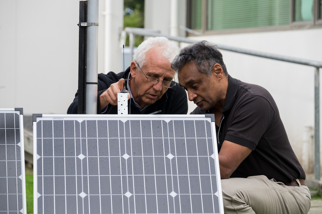
Jagath Ekanayake and Bruce Warburton checking solar panels
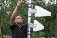
Jagath Ekanayake checking cell phone gateway

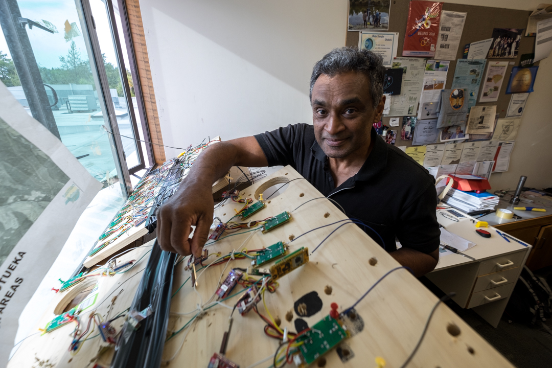
Jagath Ekanayake checking GPS electronics

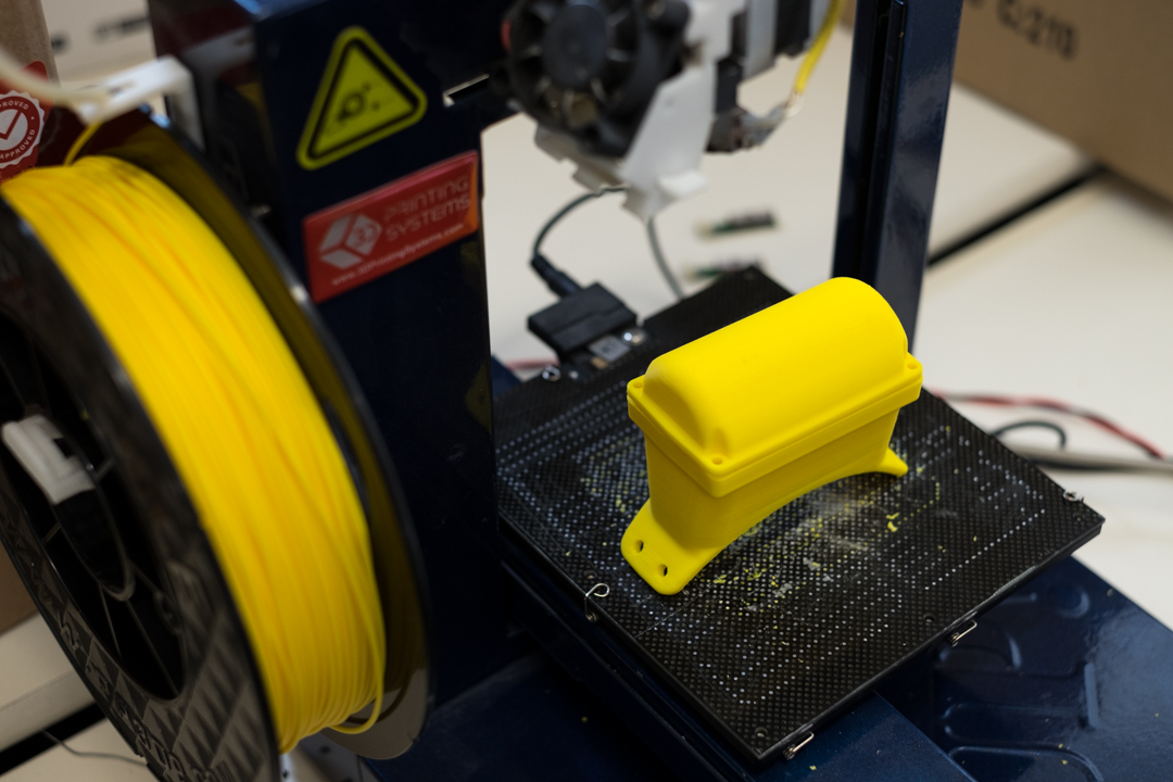
3d printing prototype GPS housings