Instant access to 3d geology and groundwater information
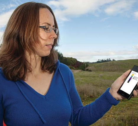
Figure 1. Groundwater Scientist Connie Tschritter uses her cellphone to access geological information directly beneath her feet in the Bay of Plenty.
GNS Science have developed an interactive portal that provides instant access to information on groundwater systems and geology in three dimensions in the Bay of Plenty. Simply by entering a street address, map coordinates or a smart phone’s GPS, it is instantly possible to call up relevant information.
The initiative, believed to be the first of its type in New Zealand, is the result of a partnership between Bay of Plenty Regional Council and GNS Science, with both organisations funding the development of the product. The Council provides its groundwater information, such as borehole data and groundwater consents, on a web site. GNS Science supplements this with information on aquifer characteristics, also available to the public. The product we initially developed was too large to serve over the internet, so we developed a simpler package for internet use.
The product is part of a larger project in which our scientists are developing three-dimensional subsurface geological models of the Taupo Volcanic Zone to better understand the geometry, fluid flow pathways, and layer properties of the geological units in this part of New Zealand.
Called ‘Earth Beneath Our Feet’, the model shows the main geological units down to bedrock plus a range of information about groundwater in Bay of Plenty. This includes the depth at which groundwater is most likely to be found. Landowners and contractors can use this information to help with drilling decisions without initially having to involve the Council. These 3D subsurface models can also be used to assess geothermal resources. In particular, they can be used to identify the large-scale water flow ‘cells’ associated with geothermal fields.
The information can be accessed by computer or by a smart phone app (Figure 1). The data served up on the smartphone app are a stripped-down version of the ‘Earth Beneath Our Feet’ website. Features of the app include access to geological model profiles below a point on the ground surface identified via a cell phone’s GPS.
Senior Environmental Scientist at the Council, Janine Barber, says when the product goes live, in December 2013, landowners, consultants, and students will have information on geology and groundwater at their fingertips. She sees it as a win-win, with the public having ready access to the Council’s data and GNS Science models, which frees up Council staff from responding to routine inquiries.
Paul White — GNS Science
P: 07 376 0128 E: p.white@gns.cri.nz