Exploring and utilising the South Island soil resources
1769
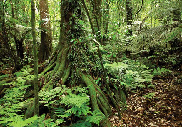
It didn’t start well because of an understandable mistake. On James Cook’s first voyage around the South Island in 1769, naturalist Joseph Banks observed the tall timbered forests and noted “The size of the plants … especially the timber trees … sufficiently evinced the richness of the soil”. Banks applied a European rule-of-thumb that related big trees to fertile soil. But this was later proved wrong and Bank’s rule was termed the “biometric fallacy”. The lesson is that we must take care if we extend our models to a new environment. Fortunately subsequent soil research and survey has been much more successful. We select just a few examples.
1968
A major milestone characterising the soil resources for the South Island was the 1968 publication of the General Survey of the Soils of the South Island. The survey used a method that had been developed to meet the demands of rapid war time mapping, generalised at a scale of 4 miles to 1 inch. The information content was sketchy but sufficient to capture the soil and environmental gradients that influenced the establishment and growth of pasture. It proved vital in the research and development of fertility management and the growth of the pastoral industry.
1968
The “Soils of New Zealand” was published in 1968 by the Department of Scientific and Industrial Research, assisted by Soil Bureau. This comprehensive three-volume bulletin provided soil maps for New Zealand at a scale of 1:1 000 000 accompanied by detailed soil chemical, physical, biological, and mineralogical information for a set of reference soils. This was the major soil information resource for New Zealand soils for a number of years following its publication.
1960s – 1970s
Professor Tom Walker of Lincoln University and his colleagues related soil phosphorous, potassium, sulphur, and other key fertility elements to soil sequences of rainfall, soil maturity, and parent materials. The new understanding enabled inferences about soil nutrients across soil types and landscapes, which assisted soil nutrient understanding and soil fertility testing.
1980s – present
Soil information is needed to inform largescale irrigation developments, and associated research led to improved understanding of soil water storage and dynamics from the physical morphology of soil profiles. The ability to predict soil water drainage characteristics was eventually used in inferences about the vulnerability of soils to leaching nutrients and contaminants. This has become highly relevant to soil management and policy formulation as land use intensity has increased in the 21st century. There are many soil stories to celebrate but we must not forget the bigger picture. In the 20th century an understanding of our soils was gradually revealed in response to the demands of land-use opportunities and problems, and the development of land-based industries. It was the co-evolution of soil research and these factors that drove progress in knowledge and land management, and this continues to the present day.
Allan Hewitt — Landcare Research
Autobiography and Reflection - Allan Hewitt
Red soil in a road cutting stirred my curiosity as a child and led me to study geology, chemistry, and soils. Over 41 years I have enjoyed mapping and studying New Zealand soils, discovering their wide diversity. Through all of this I have learned many things.
I have been fascinated by the talents of New Zealand soils. These are many and varied and include routing, storing, and filtering our water, providing the nutrients, air, and water to vegetation and crops, and maintaining land stability and flooding control.
Most of the soils have factors that limit their potential, such as acidity, drought, shallowness, erodibility, low nutrients, and steep slopes. The fact that we are able to produce what we do as a nation is a testament to our managers on the land. The area of our most talented soils, those best able to sustain intensive production, is only~5–6% of the nation. It is imperative that we maintain this non-renewable resource in production, not just for our present needs but also for our future.
For far too long good information about our soils has been lacking. The motivation of S-map is to correct this by providing web-based information for all New Zealand. It is important we match our soil talents to the needs of our land uses, so we use our soil resource effectively.