Remote Sensing and Image Processing
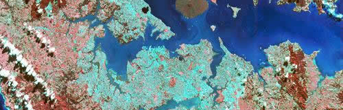
Remote sensing is the process of obtaining information about the earth's surface using sensors carried in aircraft and satellites.
The satellites orbit between 300 and 1500 kilometres above the earth's surface. Some (low resolution) satellites collect information all the time; others (higher resolution) usually need to be programmed.
Digital image processing is the computer manipulation of images to extract useful information from them.
We are agents for most international remote sensing satellite operators. Tell us what you need and we will respond with option details and prices. Some satellite services permit us to hold data in our own archive so we can directly pass items on to you. Most of these data are of New Zealand but there are some from just about everywhere as well.
We offer the following data services:
- Advice on satellite services
- Data archive searches
- Satellite data ordering and supply
- Contract research work
- Commercial contracts in all aspects of environmental monitoring and mapping using digital technologies