Digital image processing
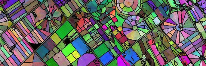 Digital image processing is the computer manipulation of images to extract useful information from them.
Accurate, up-to-date map information is increasingly in demand, for a variety of purposes, from commercial forest inventory to environmental monitoring under the Resource Management Act (RMA) or the Kyoto Protocol.
Relevant environmental data can be produced at both national and detailed scales and include forest inventory, land cover and land use, urban impervious surface maps, and high resolution digital elevation models for landform analysis and visualisation.