Impact 2.1
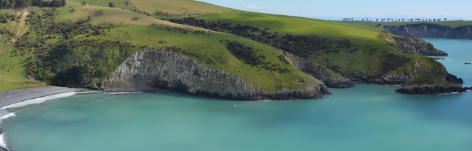
Banks Peninsula (Austin Hansell).
The status and trends of land resources and ecosystem services (including their interactions) are known and understood.
The demand for environmental information to support effective management of land resources in New Zealand has been growing. We continued to invest in developing the nationally significant soil and land databases and information systems, supported by our remote sensing and informatics capability. This year, we released new updated versions of the Land Cover Database (LCDB) and S-map Online. Digital soil mapping techniques have proven vital to cost-effective coverage of new areas in S-map, particularly those areas prioritised by regional councils to underpin land development and new irrigation proposals. We also continued to develop innovative approaches to finer-scale mapping, which delivers data suitable for farm-scale nutrient budgets and environmental management plans.
Data is delivered via the LRIS Portal, S-map Online, Our Environment Portal, the WhenuaViz information tool, and the National Land Resource Centre. We also initiated marae-based workshops for Māori agri-business on the use of S-map and land resource information.
Key performance indicator 2.1: LCDB (land cover), LUDB (land use), S-map (soil) and ESDB (ecosystem services) components of LRIS (Land Resource Information System) have been enriched and are being used under the New Zealand Government Open Access Licensing framework for web-services
Core-funded progress for 2014/15 is reported in the achievements table, particularly under: