Landcare Research - Manaaki Whenua

Landcare-Research -Manaaki Whenua

Monitoring and Measuring

Standing wood volume

Using multispectral, multipolarisation radar, methods to measure standing wood volume.

Using multispectral, multipolarisation radar, methods of accurately measuring standing wood volume are under development.
This AIRSAR (airborne synthetic aperture radar) scene shows part of Karioi Forest, North Island.
Image is 5.5 x 5.5 km

Ice extent

Using C-band synthetic aperture radar to distinguish between ice and snow.

C-band synthetic aperture radar is ideal for distinguishing between different types of ice and snow. Here, the boundary between fast ice (ice firmly held to the Antarctic landmass) and young ice (sea ice), is marked in blue. The edge of the continent is in yellow.
Image is approximately 40 km East-West.
Linework displayed courtesy of Land Information New Zealand.

Radarsat-1 standard beam data © CSA 1998

Clutter

Clutter map derived from SPOT multispectral satellite data

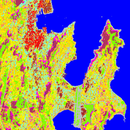
Adding height and building density data to land cover classification creates maps of the amount of clutter in the landscape. This information is useful for infrastructure planning for industry, especially communications and transport.
Different colours in this thematic map mark vegetation types and, in the built-up areas, industrial land and shopping centres, central business district (high rise), and a range of suburb ages (densities).
Image is 7 x 7 km.
Clutter map derived from SPOT multispectral satellite data.