Satellite Resolution
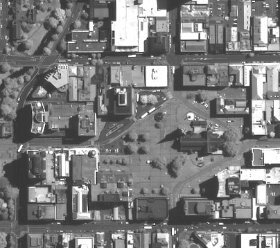
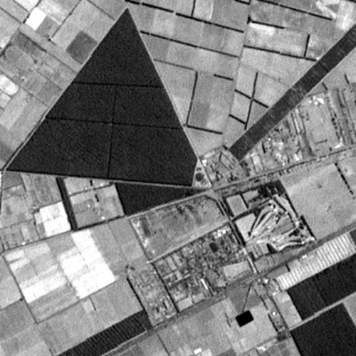
1 metre IKONOS panchromatic data of Cathedral Square and surrounds, Christchurch.
Low resolution
Low-resolution satellites give regular (daily to several times per day) coverage. These data are useful for large-area, regular coverage needs, including sea surface temperature monitoring, regional vegetation vigour and drought studies.
Low resolution satellite services include:
- NOAA/AVHRR. Low resolution visible, NIR and thermal data covering thousands of kilometres of the oceans around New Zealand.
NOAA AVHRR data are received and archived by us several times per day. Look at our website for the latest sub-images over New Zealand and download them as required. They should be available shortly after each satellite overpass. If you need further processing/more sophisticated products/larger areas from these satellites, please contact us. - Vegetation. This is a sensor on the SPOT 4 and 5 satellites providing daily blue, red, NIR and SWIR data at 1-km spatial resolution. Subscenes of data, 1000 x 1000 or 2000 x 2000, either from a single strip or composited over several days, are available, along with ancillary data (atmospheric conditions, satellite location etc.).
- There are other, low resolution datasets available also, both for New Zealand and overseas coverage. These include MODIS TERRA, MODIS AQUA and EnvisatMERIS.
Medium resolution
Medium-resolution satellites typically give weekly to monthly coverage. These data have spatial resolutions from 10 to 30 m and spectral bands ranging from blue light through to short-wave infrared (SWIR). Relatively large areas are covered by each satellite overpass. These data are suitable for a variety of information uses involving mapping, monitoring, and detection of land cover and land use features at scales from 1:50 000 to 1:250 000.
High resolution
High-resolution satellite services can collect images over a particular area every 1–3 days but at very variable look angles.
Spatial resolutions are typically between 1 and 4 m and the swath widths are between 8 and 15 km.
Examples
The picture element (pixel) size of digital data determines the spatial resolution, or the detail that you can see in an image. Different spatial resolutions are best for differen applications. Each image below is 5x5 km.
 |
1.1 kilometre Data received & archived at Landcare Research |
 |
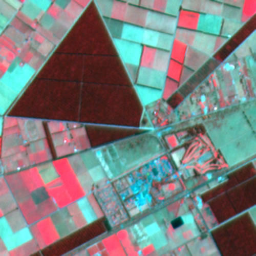
30 metres Landsat - 7 ETM (Enhanced Thematic Mapper) February 2000 data |
 |
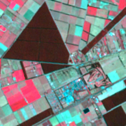
20 metres Spot Multispectral data © CNES 1996 |
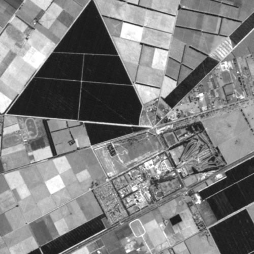 |
10 metres Spot panchromatic data © CNES 1989 |
 |
15 metres Landsat 7 ETM panchromatic data February 2000 data |
|
1 metre IKONOS panchromatic data of Cathedral Square and surrounds, Christchurch. Data displayed courtesy of Space Imaging |