LRIS - an evidence base for land-related decision making
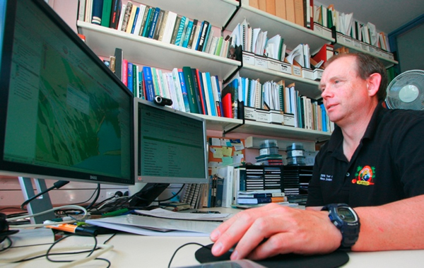
Geographic Information System (GIS) researcher James Barringer working on LRIS
The Land Resource Information System (LRIS) is a critical tool for providing the evidence-base for land policy and management decision making in New Zealand.
LRIS is the primary resource for the digital spatial representation of our land environment. It comprises two nationally significant databases: the New Zealand Land Resource Inventory (NZLRI), and the National Soils Database (NSD), as well as underlying fundamental data (e.g. S-map database), and a range of derived products and services.
LRIS data and related information systems are used across all sectors: all levels of government, industry, science, and education.
For example, central government has used LRIS for the rabbit proneness evaluation for regional council rating of rabbit control (1990); to determine the effects of mass-movement erosion on soil carbon stocks (MfE, 2010); for hill country erosion management (2008), to support South Island Pastoral Lease Tenure Review (LINZ, 2004); and for erosion classification for a National Environmental Standard for plantation forestry.
Examples of regional and local government decision-making influenced by LRIS include: Horizons Regional Council’s One Plan (2011); the soil resource consequences of land-use trends in Marlborough District (2010); sustainable land use management plan for Atihau-Whanganui Incorporation (2007); rural productive potential in the Northern part of the Kapiti Coast district (2005); and an assessment of the potential for five horticultural crops on the East Coast (2005).
New information on soil properties including leaching potential was recently used to predict the cost of over-irrigation in Canterbury. These data showed that a reduction of 0.25mm of water per day across the region would save 275m cubic metres of water each year, and reduce more than half a million tonnes of fertiliser leachate to groundwater. This was estimated to avoid about $3.8m of wasted expenditure each year on water, electricity and fertiliser as well as delivering environmental benefits. These estimates are conservative, however, and avoided costs could be as high as $30m a year.
LRIS has also delivered significant cost savings to Crown agencies in the natural resources sector. For example, since 2010 LINZ/Crown Pastoral has developed a new rental assessment mechanism for 220 high country leases. LRIS data along with analytical expertise were key components in setting base land carrying capacity in support of the new rental assessment system. LINZ report this work has dramatically decreased management costs of leases and decreased the administrative cost of the rent setting procedure.
Primary industries benefit from the use of LRIS information at both local and national scales. At the local level, natural capital valuation methods were used to estimate the value of knowledge of mapped phosphate retention levels in topdressing pastures, in a case study in western Waikato hill country. A cost-benefit ratio of between 60-673 was estimated (depending on fertiliser application scenario) over a period of 20 years.
At the national scale, it has been demonstrated that using new soil survey information to target nitrogen management could save farmers and the community $363,000 p.a., with a cost-benefit ratio for the soil survey of 1:7 in the first year of targeted N-leaching mitigation.
Public access to LRIS is through online tools such as the LRIS portal, S-map Online, Our Environment, web services, and Soils Portal. Prior to the 2010 launch of the LRIS Portal, Landcare Research supplied about 50 LRIS-related datasets to users per annum. There have been about 3000 free user downloads per annum since the portal has been available.
Seventy per cent of portal users surveyed in 2012 reported that being able to download LRIS data had saved them time and money, opened up possibilities for new or alternative solutions to problems they faced, or simply improved the quality of their work.