Protecting coral reefs in the Pacific
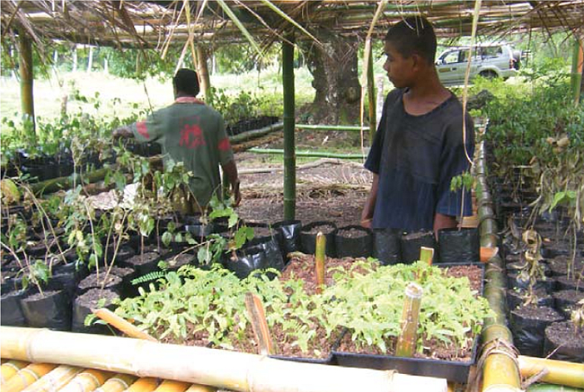
Village plant nursery, Ra province, Fiji.
News media report regularly on the threats to coral reefs from climate warming. However, sedimentation from adjacent catchments onto near-shore coral is a more visible impact for Pacific Island communities who rely on these coral reefs for fish, tourism, and maintaining traditional cultural values.
Landcare Research scientists Andrew Fenemor, Colin Meurk and Grant Hunter have led the compilation of a Best Practice Guide for community action and revegetation in Pacific Island hill lands to support community initiatives to protect coastal resources. The Guide was developed for the French-funded Coral Reef InitiativeS for the Pacific (CRISP) and co-authored with experts from the University of the South Pacific (USP), Secretariat of the Pacific Community (SPC), Vanuatu Farm Support Association (FSA), and Fiji Department of Forestry.
Best practice guide for watershed management In Pacific islands
| Part 1 – Principles for action | |
|---|---|
| 1 | Scale of the problem |
| 2 | What can I control and what can’t I control? |
| 3 | Why use a watershed approach? |
| 4 | Principles for Integrated Watershed Management |
| 5 | Mobilising commitment |
| 6 | Reducing soil erosion and sediment delivery to the coast |
| 7 | Best practice revegetation |
| Part 2 – A process for implementation | |
| 8 | Planning |
| 9 | Implementation in the field (project management and plant preparation) |
| 10 | Site preparation |
| 11 | Planting |
| 12 | Maintenance (follow-up establishment and tending) |
| 13 | Monitoring – evaluation and adaptation to ensure successful and enduring outcome |
The project aims to allow communities to undertake sustainable management decisions in the protection and restoration of their watershed (i.e. catchment) areas. It applies an integrated catchment management (ICM) ridge-to-reef approach highlighting the connectivity of land-use practices in the upper catchment and their impacts in the marine environment. The Guide particularly draws on USP and FSA work with communities in the Naroko and Nakorotubo catchments of north-east Viti Levu (Fiji) and in Epau and Aneityum in Vanuatu; however, the principles apply to any Pacific hill lands.
There are two parts to the Guide: the first part provides information on ICM processes from the Motueka catchment and planning revegetation projects for catchment recovery; the second part includes lists of Pacific species suitable for revegetating hills, floodplains, and coastal and stream margins.
The Guide offers a step-wise process for agencies and local communities to manage their sediment loss:
- engaging communities and raising awareness
- identifying problems and vision as part of a planning process
- identifying erosion risk according to simple, easily applied field criteria, recognising where in the landscape these risk classes occur, based on land units on maps and oblique aerial photographs, and ecologically characterising these land units
- providing a selection of (safe) species suitable for each named land unit, and providing choices among the selection according to use value (timber, building, crafts, fibre, medicine, pasture, crop/food, and biodiversity) and propagation process
- applying planting and maintenance techniques that ensure best result for effort and resources, and
- carrying out a monitoring regime and learning from the process through an adaptive management cycle.
Andrew Fenemor