Supplying land and soils data over the web – the LRIS portal
Access to the national Land Resource Inventory (LRI) has been transformed through the use of Internet and ‘Google Earth’ style technologies.
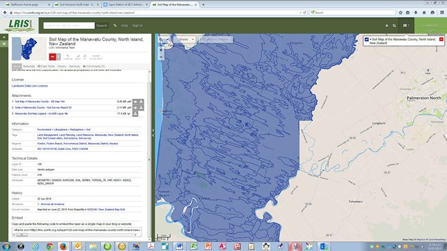
The LRIS Portal is an evolving, easy to use, online service that provides access to Landcare Research’s geospatial data. Since publically launching in August 2010, this new data supply service has generated a wealth of interest from users, and over 1700 download requests have been fulfilled. The LRIS Portal is the first of a new series of web applications and services that Landcare Research is creating and rolling out over the next few years.
The LRIS Portal
Individuals working in regional and central government, industry, research, and education now have quick and easy access to environment data held by Landcare Research. These geospatial datasets, many of which are considered of national significance, can be used for creating maps, analysis, modelling, and generally for finding out about New Zealand’s environments and land resources.
More than 80 of Landcare Research’s land and soils datasets are available through the LRIS Portal. The data include records from the New Zealand Land Resource Inventory (NZLRI), data underpinning the Land Environments NZ (LENZ) data set, Fundamental Soils Layers (FSL), regional soil databases, and digital elevation models. These data can be used in a diverse range of applications, for example, catchment and resource management, national monitoring of carbon sources and sinks, and studies of climate change.
Using software provided by Koordinates Limited, the service provides professional geospatial data users with easy and quick access to data. Designed to make the data usable, as well as accessible, each data layer comes with comprehensive metadata (‘data about data’), supporting documents, and easy to understand data use licenses. Downloading data requires no special software, although GIS software or similar software is required for subsequent use of the data. Users can select from a variety of data formats and, using a map-based interface, sub-set the geographic extent of the data so they download data only for the area of interest.
Use of the LRIS Portal
The portal website has been extremely popular. Some 9500 individuals have visited the site since launch (95 000 page views) and many third party web sites provide a link to the Portal.
In 2009 Landcare Research supplied less than 50 LRIS datasets to users. Almost one year after launch of the LRIS Portal over 1700 download requests have been fulfilled. The most frequently downloaded data are: North and South Islands DEMs, FSL Soil Classification, NZLRI Vegetation, NZLRI Soil, and NZLRI Land Use Capability.
Impact
Feedback from a recent user survey found that the portal has radically improved the accessibility of LRIS data, saving time and money for users. The survey also found that making data available through the portal had resulted in a general increase in the use of environmental data as well as new information creation by merging LRIS data with other data.
The future
The portal itself represents the first phase of the development of Landcare Research’s spatial data infrastructure. The next step is to make the LRI and soils data more directly usable for the non-geospatial professional. To this end a series of web mapping applications have been designed and built, using open source software, and these are being rolled out during 2011. The first of these is S-map Online, which is described in another article in this issue.
David Medyckyj-Scott & James Barringer