High resolution satellite imagery
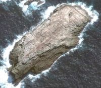
An small islet in the Bounty Island group. Quickbird imagery (c) DigitalGlobe.
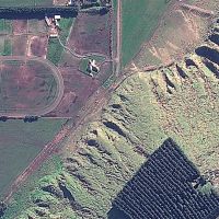
GeoEye pan-sharpened natural colour imagery. (c) Geoeye 2010.
Landcare-Research -Manaaki Whenua
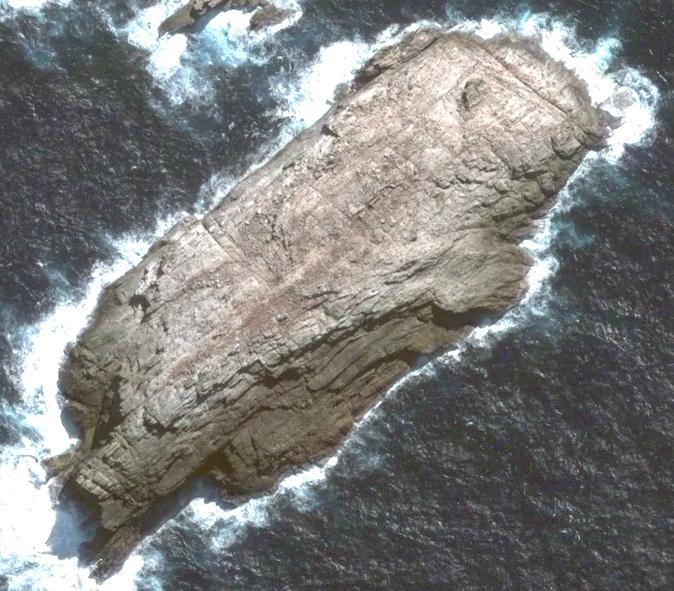
An small islet in the Bounty Island group. Quickbird imagery (c) DigitalGlobe.

GeoEye pan-sharpened natural colour imagery. (c) Geoeye 2010.