RADARSAT
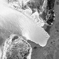
Subscene of RADARSAT standard beam data showing an ice tongue in Ross Dependency, Antarctica. C. CSA 1997.

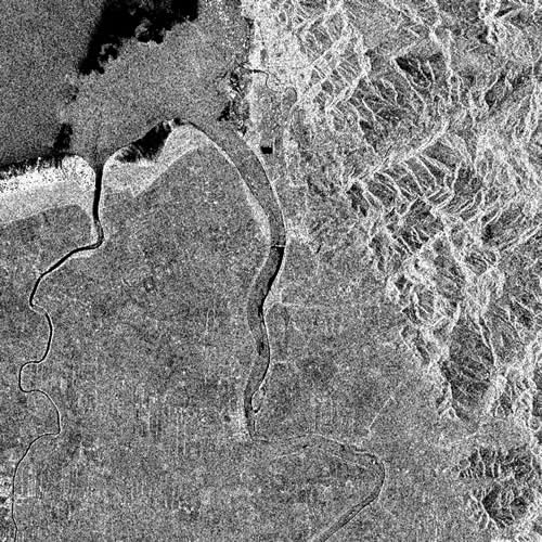
Subscene of RADARSAT standard beam data showing Piako River emptying into Hauraki Gulf, North Island, New Zealand. C. CSA 1999.

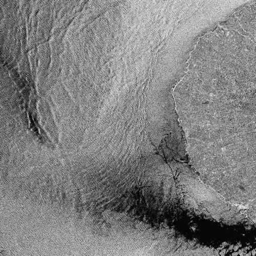
Subscene of RADARSAT standard beam data showing wind, wind shadow, wave, and current structures in the sea off Cape Egmont, North Island, New Zealand. C.CSA 1999.

Description
Canadian satellites carrying C-band, horizontal send-and-receive, synthetic aperture radar (SAR). Radarsat-1 imagery is collected at a number of modes from fine beam with a swath of 50km and a spatial resolution of 8m to ScanSAR wide with a 500km swath and 100m spatial resolution. Radarsat-2 is similar but has improved capabilities including multiple polarisation modes and a very high spatial resolution Spotlight mode.Availability
Imagery can be programmed on demand.
Radarsat-1 operated from December 2007 to April 2013; Radarsat-2 was launched December 2012 and is operational. Radarsat-3 is a constellation of 3 satellites, due for launch in 2018.
Uses
Maritime surveillance (e.g., ship detection), monitoring and tracking sea ice, detecting oil spills, monitoring floods, landslides and eruptions, geology.Pricing
Pricing varies with mode and urgency.Please contact us for details.