Japan Earth Resources-1 (JERS-1)
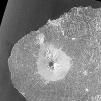
JERS-1 SAR.Taranaki . Path 629 Row 366. 3 February 1994. NASDA/MITI retains ownership of copyright.
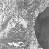
JERS-1 SAR. North Canterbury. Path 630 Row 373. 29 August 1975. NASDA/MITI retains ownership of copyright.

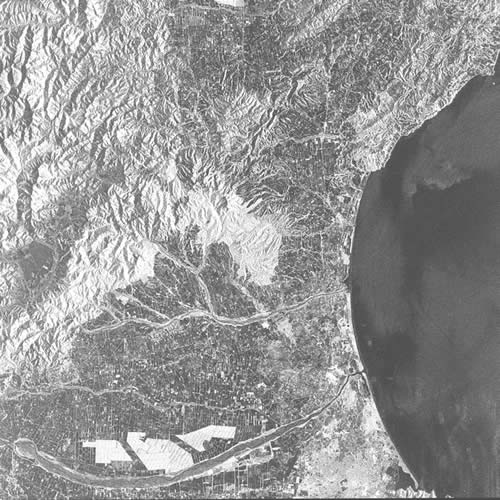
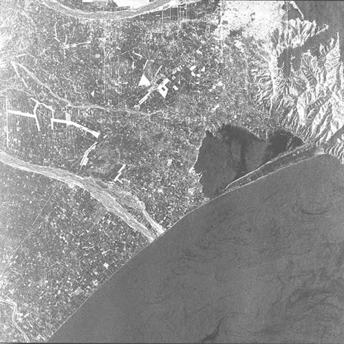
JERS-1 SAR. Christchurch/Rakaia. Path 630 Row 374. 3 February 1994. NASDA/MITI retains ownership of copyright.

Description
Sun-synchronous, subrecurrent satellite with a 44-day repeat cycle, carrying two main sensors:(1). L-band (23 cm) synthetic aperture radar with 75-km swath, horizontal send-and-receive, single polarisation,and 18-m nominal spatial resolution
(2). OPS (Optical sensor) with three visible/NIR bands, four short-wave infrared bands, plus one stereoscopic band, 75-km swath, 18 x 24 m spatial resolution.
Availability
Launched 11 February 1992. Failed October 1998.Limited cloud-free OPS data available over NZ.
An excellent and extensive archive of L-band SAR imagery is available for 1992.
Uses
SAR: All-weather mapping and monitoring.Geological structure and texture identification.
Vegetation mapping and monitoring.
Soil moisture and wetlands mapping.
OPS: Mapping and monitoring, especially for geological exploration and vegetation.