SPOT 6
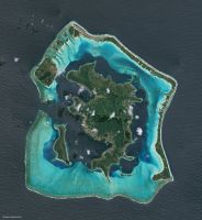
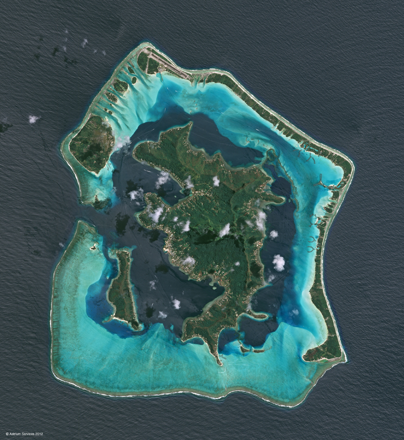
Natural colour image of Bora Bora, French Polynesia. (c) CNES.

With SPOT-6 and -7, plus the Pleiades satellites,more than daily image acquisition is available.

Description
French satellite series with a 60-80km swath and a 26-day repeat cycle for nadir viewing. Twin sensors allow for collection of simultaneous multispectral and panchromatic imagery.
The SPOT-6 multispectral scanner has 4 spectral bands - blue, green red, and NIR - and a spatial resolution of 6m. The panchromatic band has a spatial resolution of 1.5m.
Availability
The satellites can be programmed to collect imagery on demand.
SPOT-6 was launched in September 2012 and is operational. SPOT-7 is due for launch in 2014. Once the two satellites are operational they will be capable of daily image collection over any point on the globe.
Uses
Mapping and monitoring for a variety of applications.
SPOT-6 imagery is currently being acquired to create a 1.5m seamless global true colour basemap offering high geometric accuracy. This SPOTMaps product is available nationally, regionally, and as single tiles.