LANDSAT
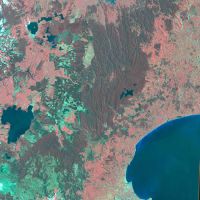
Landsat-2. Volcanic Plateau. Path 72 Row 87. 22 December 1975.
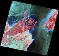
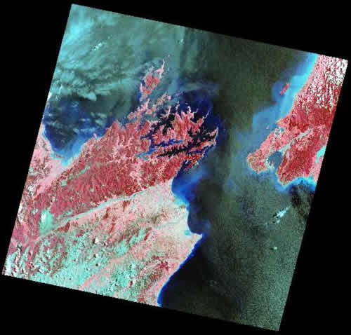
Landsat-7 ETM+. Marlborough. Path 73 Row 88 s.a.t. south. 30 December 2001.

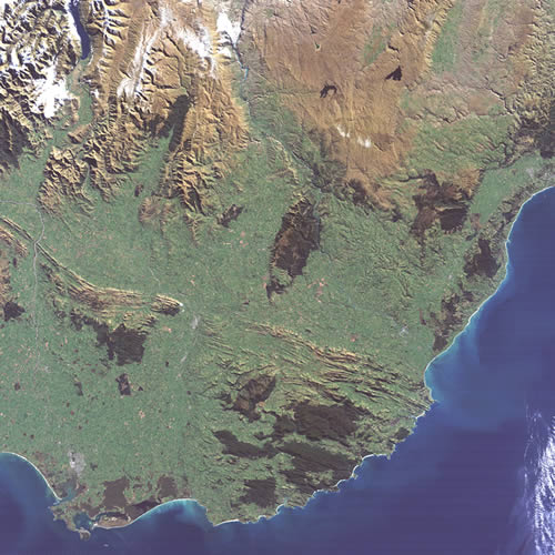
Landsat-5. Otago-Southland. Path 75 Row 92. Bands 1,2,3. 15 April 1989.

Description
The Landsat series began in 1972 with the launch of Landsat-1, followed by Landsat-2 in 1975 and Landsat-3 in 1978. These satellites carried a nadir-pointing multispectral scanner that collected images at green, red, and two NIR wavelengths and with a repeat coverage every 16 days. The spatial resolution was 60 x 80m and the swath width was 185 km. Since then, the satellites in the series have added more spectral bands and improved the spatial resolution but retained the same swath width and repeat coverage.
The current satellite is Landsat-8. Launched in 2013, it has 8 spectral bands at 30m spatial resolution, a panchromatic band at 15m, and two thermal bands at 100m.
Availability
Data of New Zealand is available from 1973 but coverage is sporadic up to around 1998. More recently, data is collected and archived from all passes and is made available, free of charge, from a number of websites.
Landcare Research has a large archive of historical Landsat imagery and is now downloading all these data, reprojecting them to NZTM, and running a series of calibrations and corrections to normalise all the imagery so they are ready for systematic analysis.